
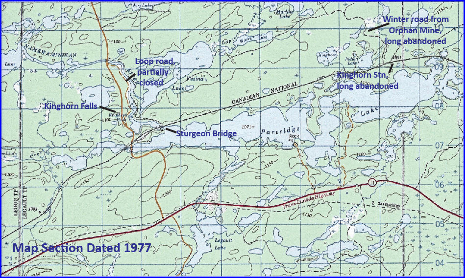
2 ̶ The Bridge
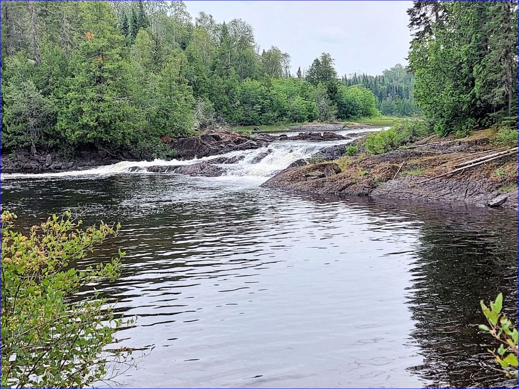
A short walk on a well-trodden trail brings one to a small cove and face-to-face with Kinghorn Falls.

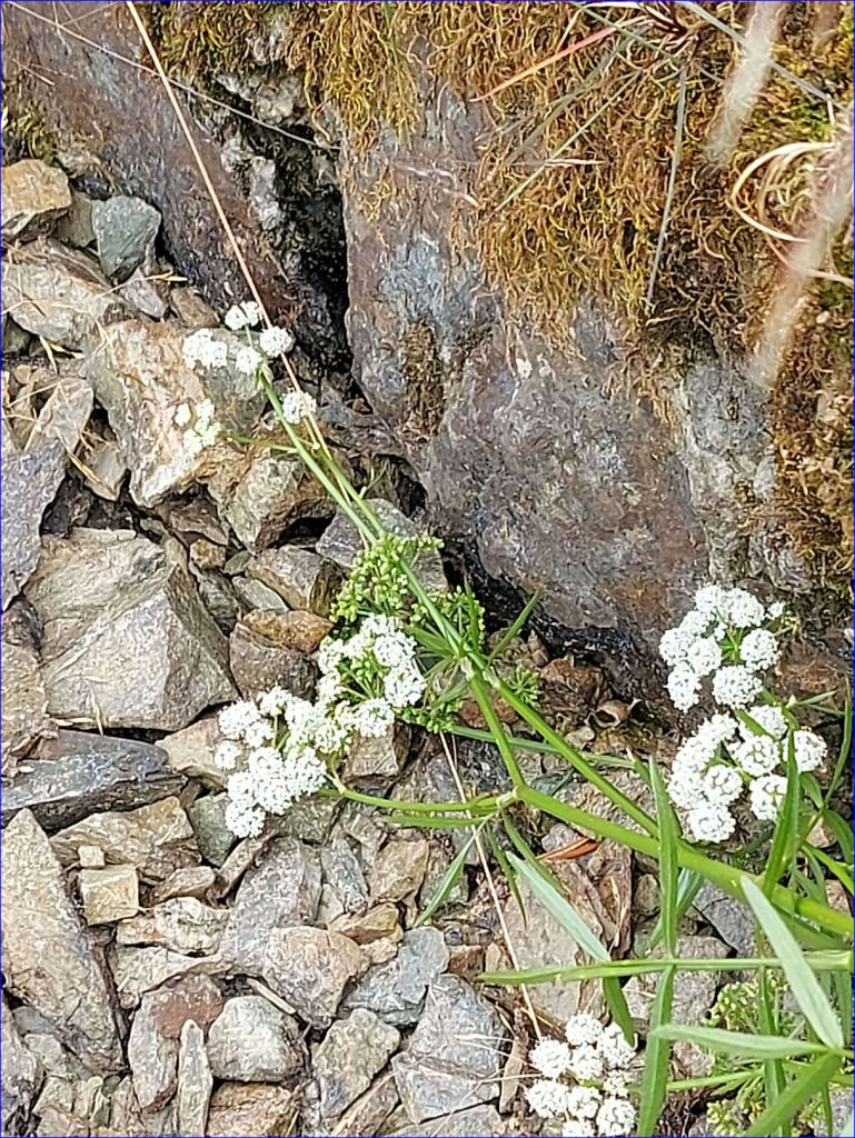
The water level has dropped so dramatically that one can walk across mud flats to where the trail picks up in the trees.
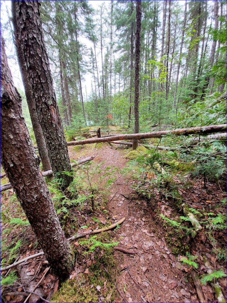
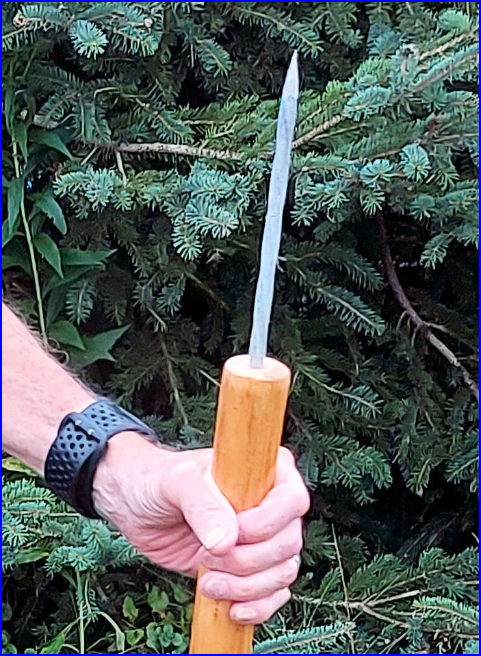
At this point I started looking around for bears. I had neglected to bring my Crocodile Dundee Bowie persuader. I had a tiny penknife which would have merely scratched a curious Yogi. And, I found the uneven trail unbalancing and only thin dead branches to lean on. I promised myself to acquire one of Dr. Jim Morris‘s bear sticks* at next opportunity.
It is a beautiful spot, one of the hidden treasures of the Greenstone Region. I indulged myself with photographs of a variety of wildflowers before I turned around.
Behind the wheel, I reached the Kinghorn Road in 0.3 km and turned south. At the entrance to the ballast pit, I turned left, paralleling the railway right-of-way on the south side.
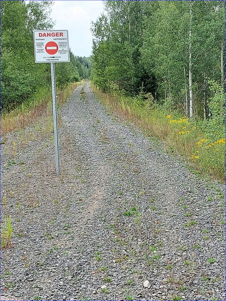
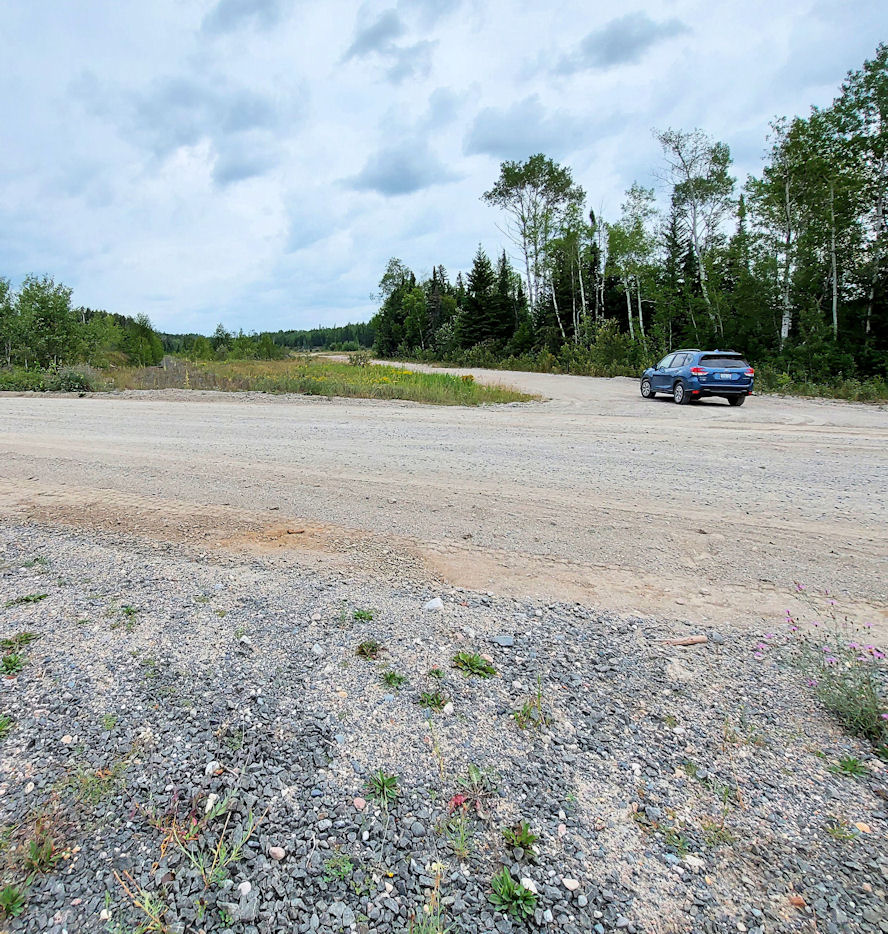

One old map identifies this wide empty space as a ballast pit. Some debris from logging operations litters some of the pit floor. The “pit” is a flat area. Sometime in the past, a ridge of gravel was excavated to create the flat area. Mechanical shovels loaded pit run into gondola cars on a railway spur, the tracks and rail bed now long gone. As one approaches the bridge on a crude road, one passes the last remnant of the gravel ridge.
At a point 0.6 km from the Kinghorn Road, I parked where the road met the ATV trail and walked the last hundred metres.
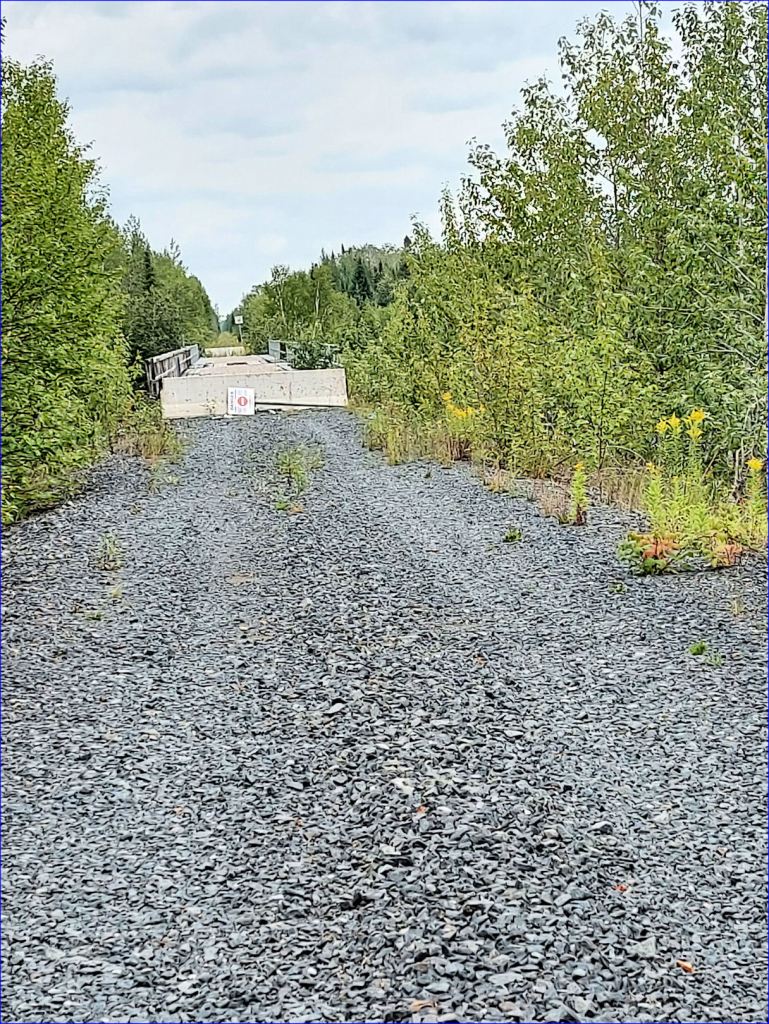
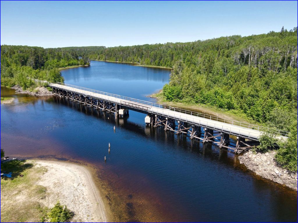
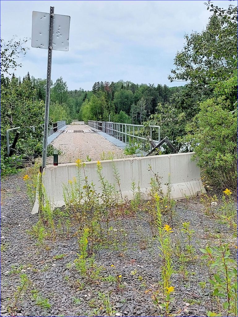
The CNR, after lifting the rails, made a practice of placing a pre-cast concrete barrier on either end of a bridge. The barriers do block travel by motor vehicles but ATV’s usually find a way around, and such is the case here.

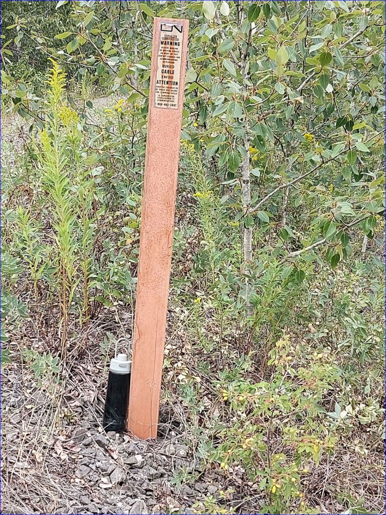
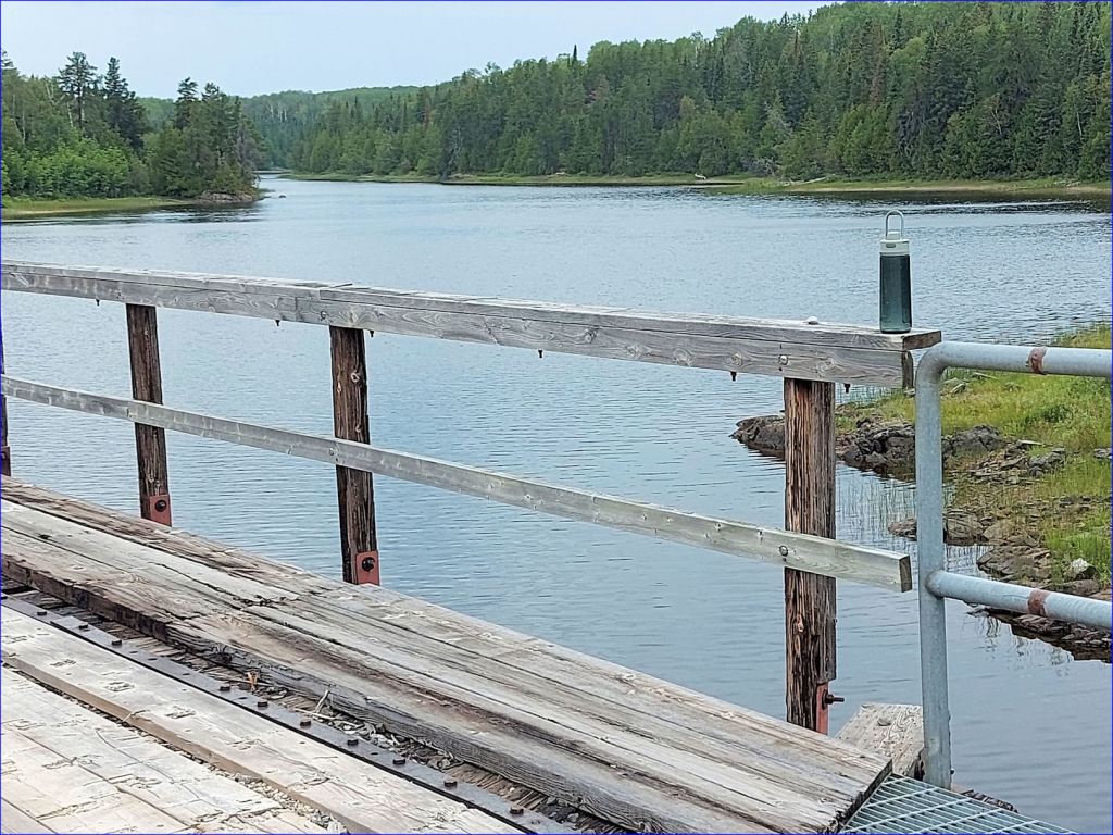
From the bridge, there is a view of Partridge Lake to the south and east. The view includes an RV campsite. At the east end of the bridge, it appears that some heavy-duty vehicle displaced the barrier to leave a wider opening. A metal stake marks CN’s fibre optic cable. At this point I paused for lunch.
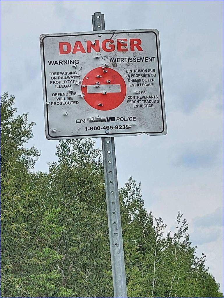
You know, in the Old West, self-appointed vigilantes brought a kind of rough justice to the wild frontier. In the New North, ventilators display their disdain for law and order. Official signs often become targets.

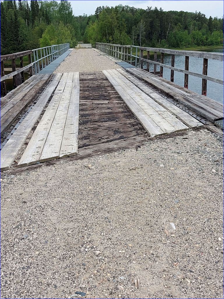
Crossing the bridge again, I noted certain aspects of the deck. The foundation is closely spaced creosoted ties. Many of the spikes that held the rails and plates are still embedded in the ties.
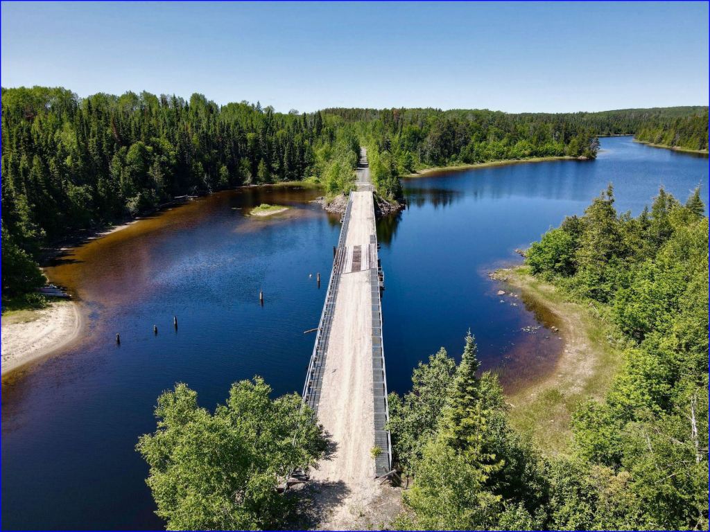
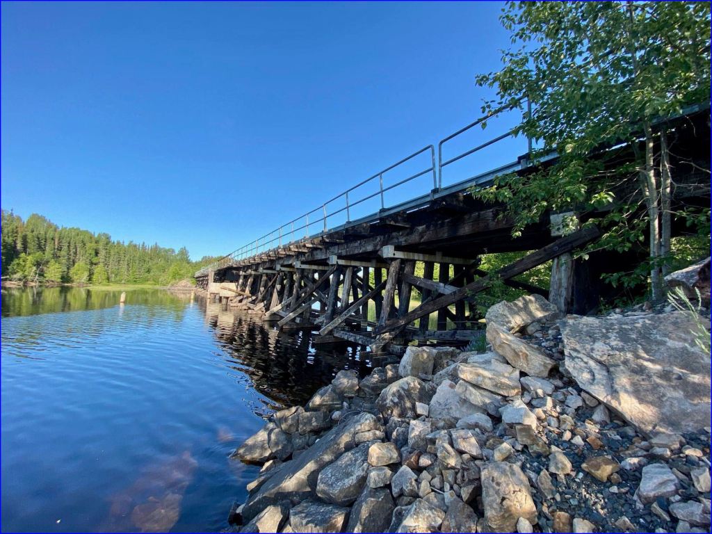
The Sturgeon Bridge is a solid piece of engineering. In another fifty years, one will still be able to walk cross it. In a hundred, perhaps crawl across it. By that time, it may cost a million dollars to remove it.
This is a bridge with history.
Note*: Check the post A Stick With Attitude.
(continued in Chapter 3 ̶ The History)
