On Sunday, July 31, 2022, I joined a group in a tour of the island and lighthouse. The sky was overcast, threatening, but the rain held off till the trip was over. The temperature hovered around 20’ C.
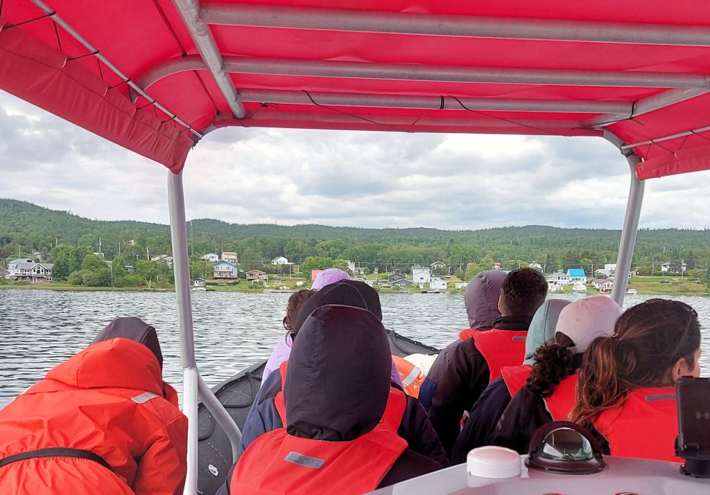
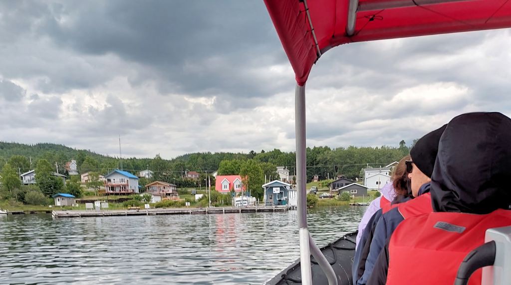
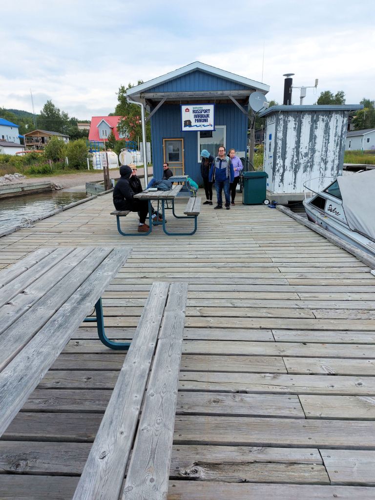
My daughter, Laura, and I drove to Rossport, followed by Stacy and Roger and three youngsters. We seven joined five others in the Superior Rocket, an inflatable boat, piloted by the owner, Captain Greg Heroux, of Sail Superior, and left the dock just after 5:00 p.m.
Each of us had signed a waiver, a rather intimidating one, cautioning us about the dangers on the water, under the water, and in the skies (e.g., large waves, shoals, and high winds). We skipped over the caution about dangerous wildlife, but a tale by one of the tour’s interpreters later brought it home. As we looked out from Rossport Marina, the waves looked almost friendly.
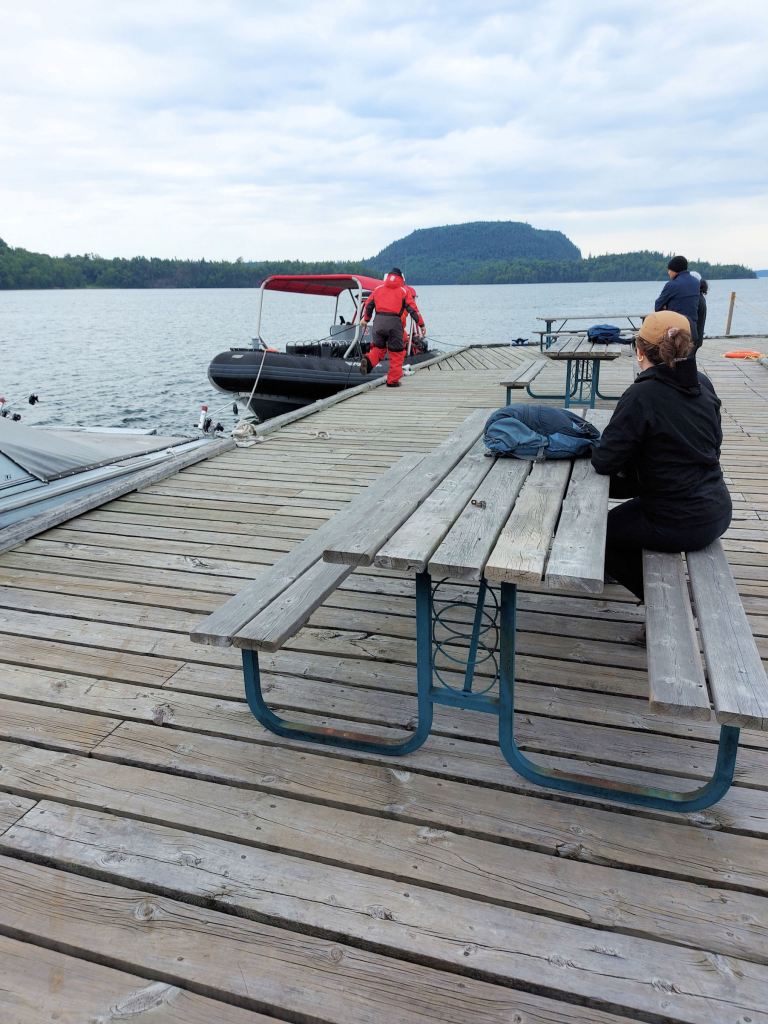
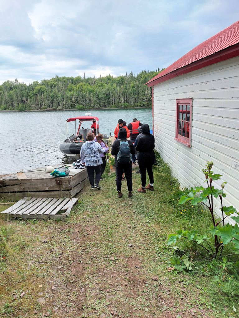
Captain Heroux was meticulous in adjusting our PFDs and demonstrating how to board the Zodiac. The seats required passengers to straddle two parallel benches and grasp a bar or handle in front. Laura and I, forewarned, selected seats close to the rear to decrease the shocks of striking waves. Still, it was a bumpy ride. And extremely windy.
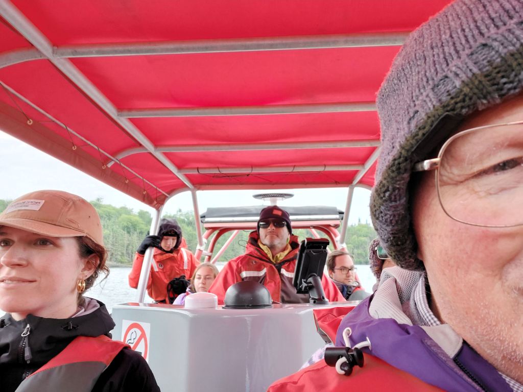

As we headed south through Wilson Channel (approximately 11 kilometres), the ride lasted about twenty minutes. The captain masterfully brought us up to the dock. We debarked one at a time, the captain and a crew member steadying the craft. We deposited our PFDs and absorbed the warning about departure time being at 7:30 sharp.
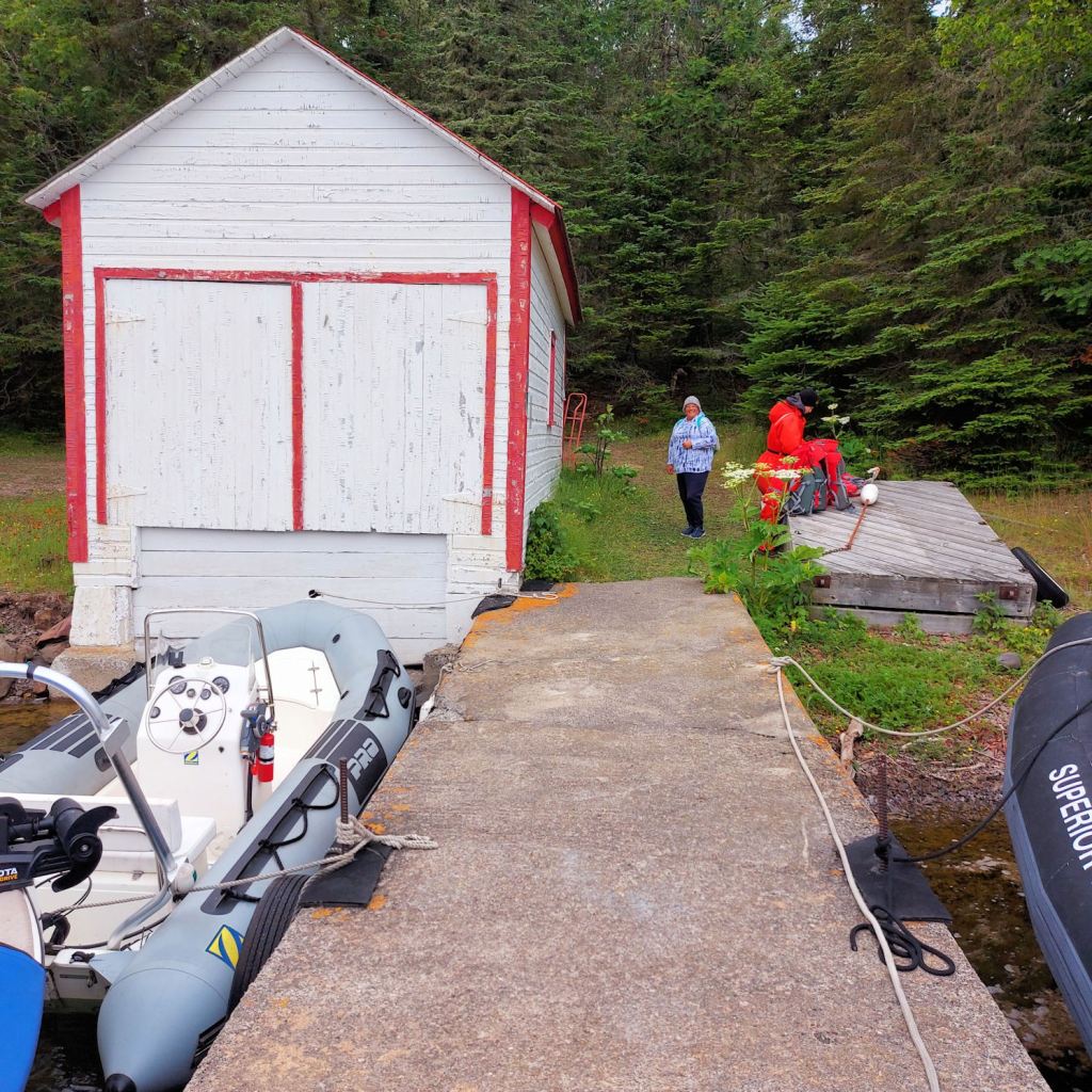
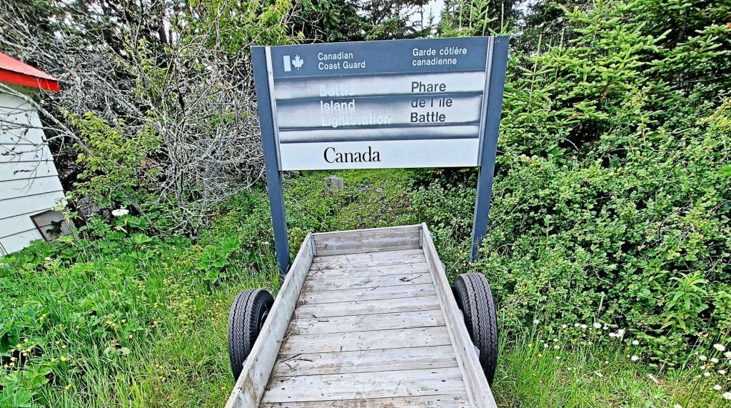
We had a choice of trails ̶ a narrow one through the bush, or a wide, hard-packed one, obviously a service road. Yet the only motorized vehicle was, we later learned, an ATV. Our adult party of four chose the road; the youngsters chose the bush.
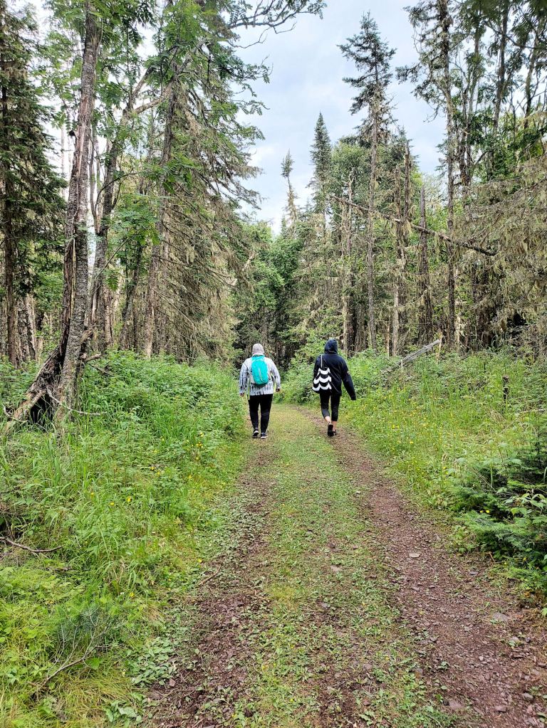
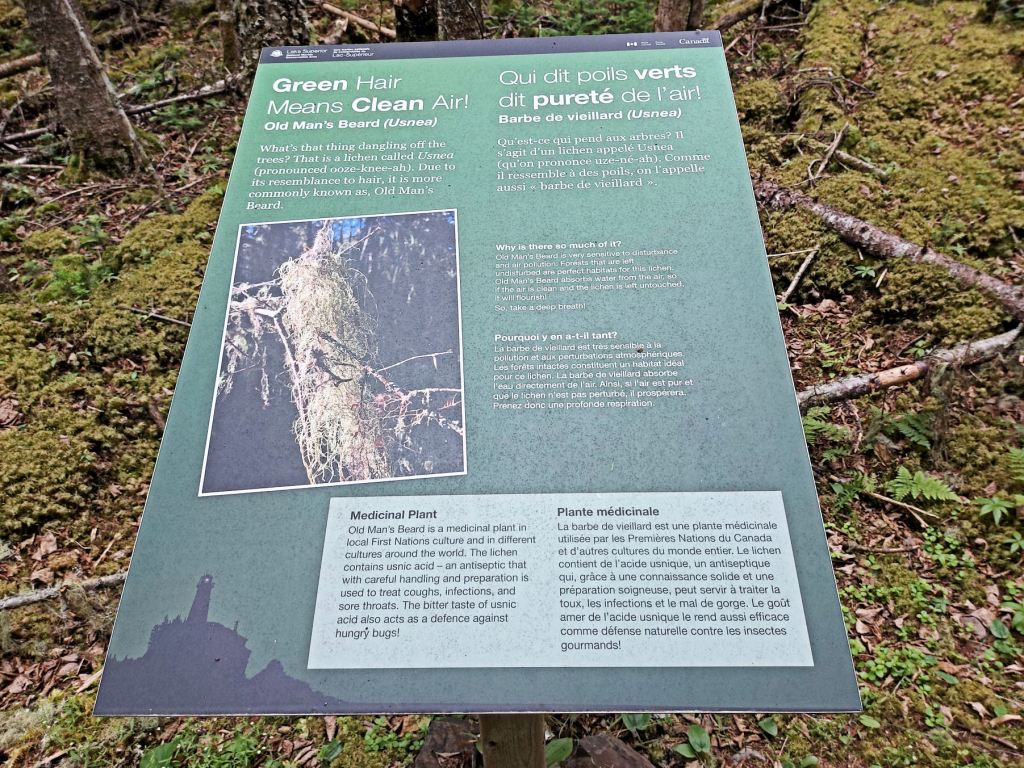
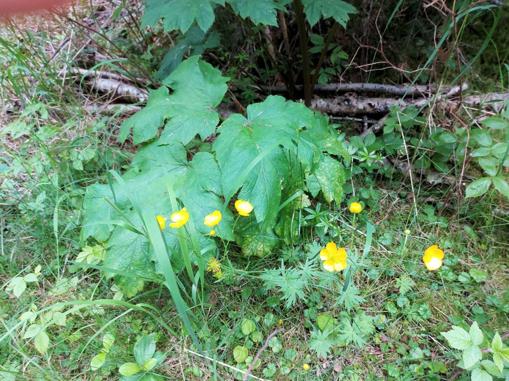
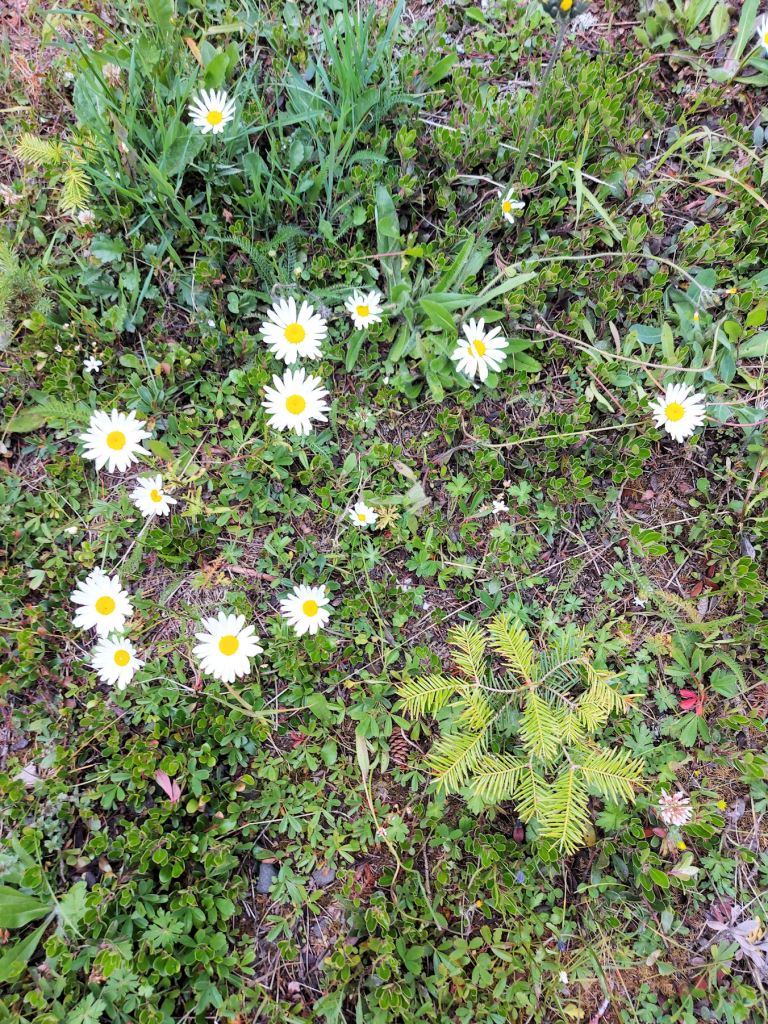
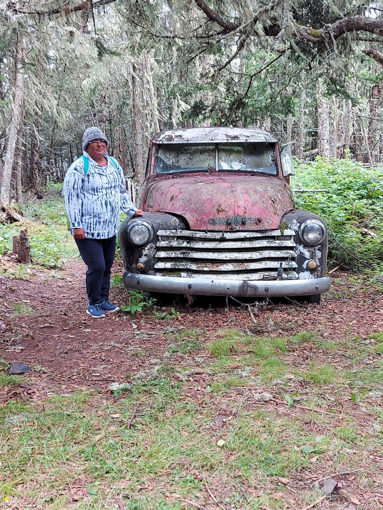
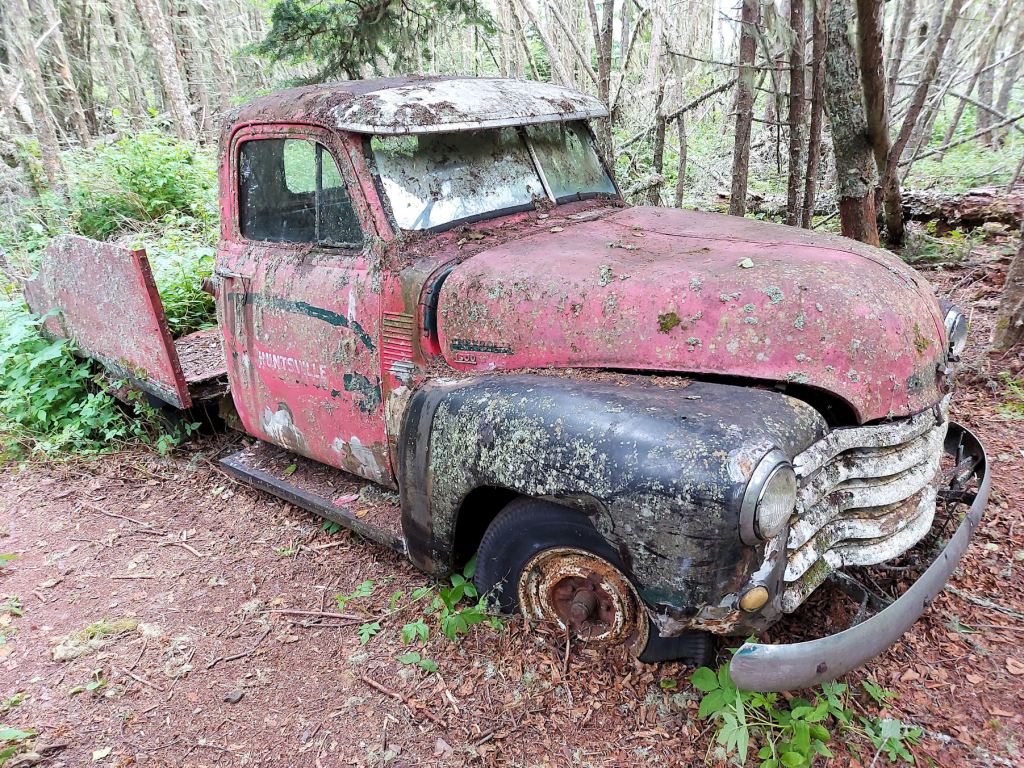
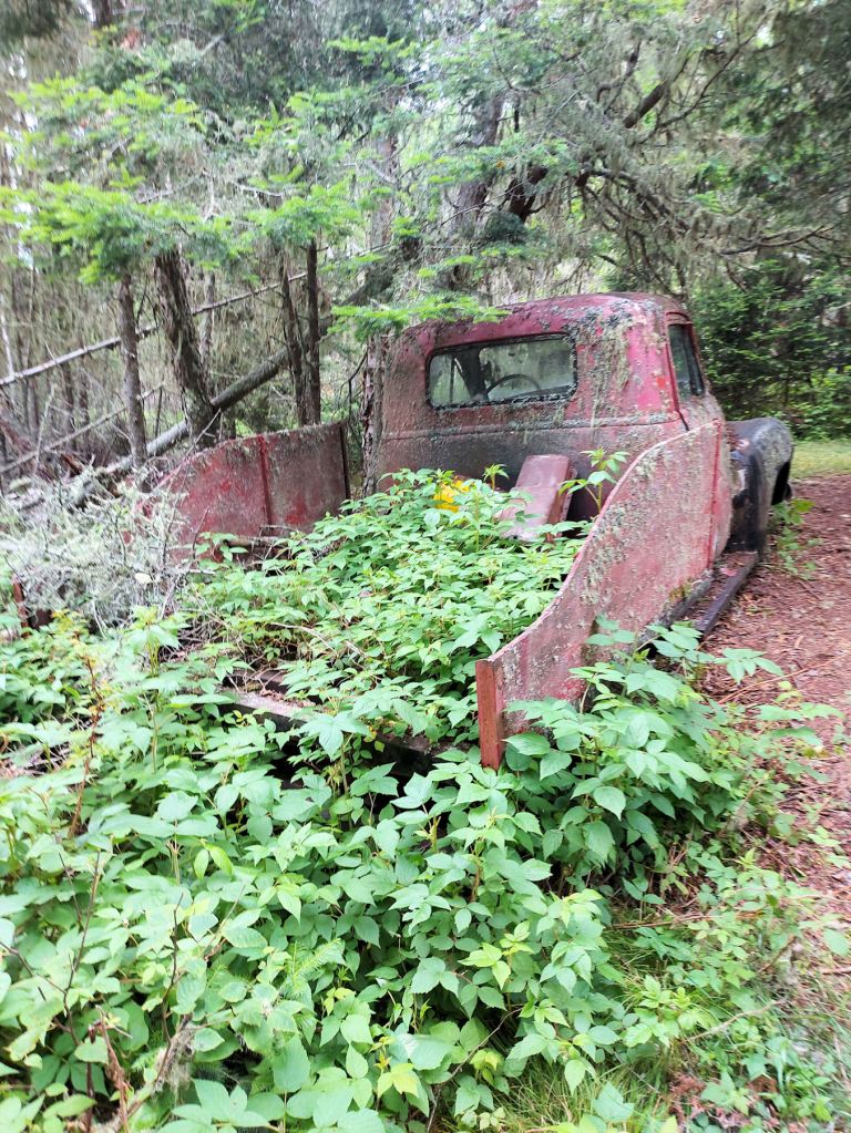
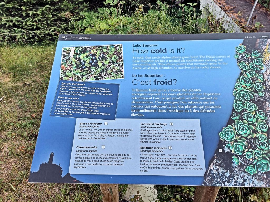
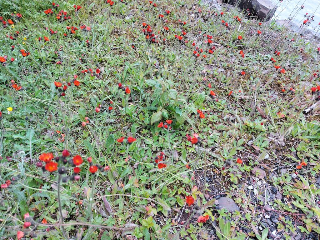
We enjoyed the lush vegetation, the mature trees and understory, the flower patches. From time to time we encountered an interpretive sign. The trail rose gently and then descended. We were very interested in the derelict car. We wondered what its story was, but online found only a mention of it having been driven in over the ice. There is also a derelict rubber-tired Ford tractor near the dock, but I missed seeing it.


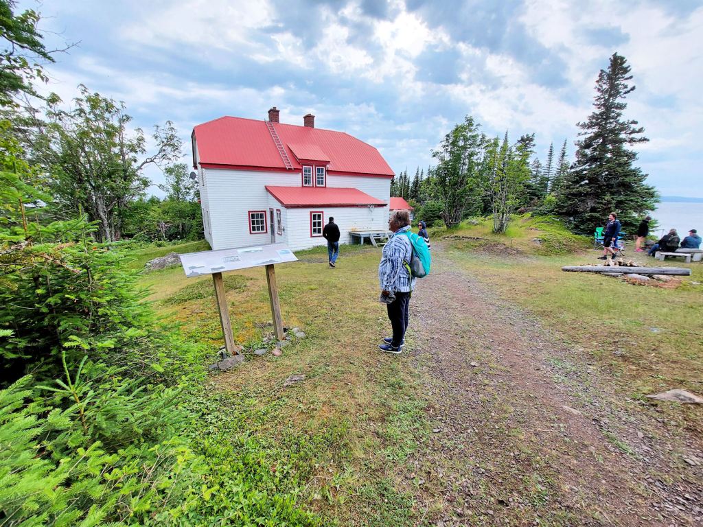
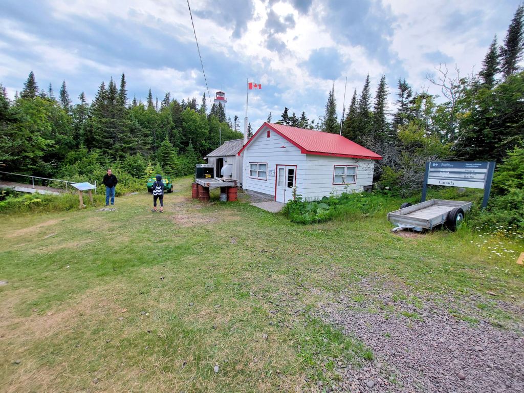
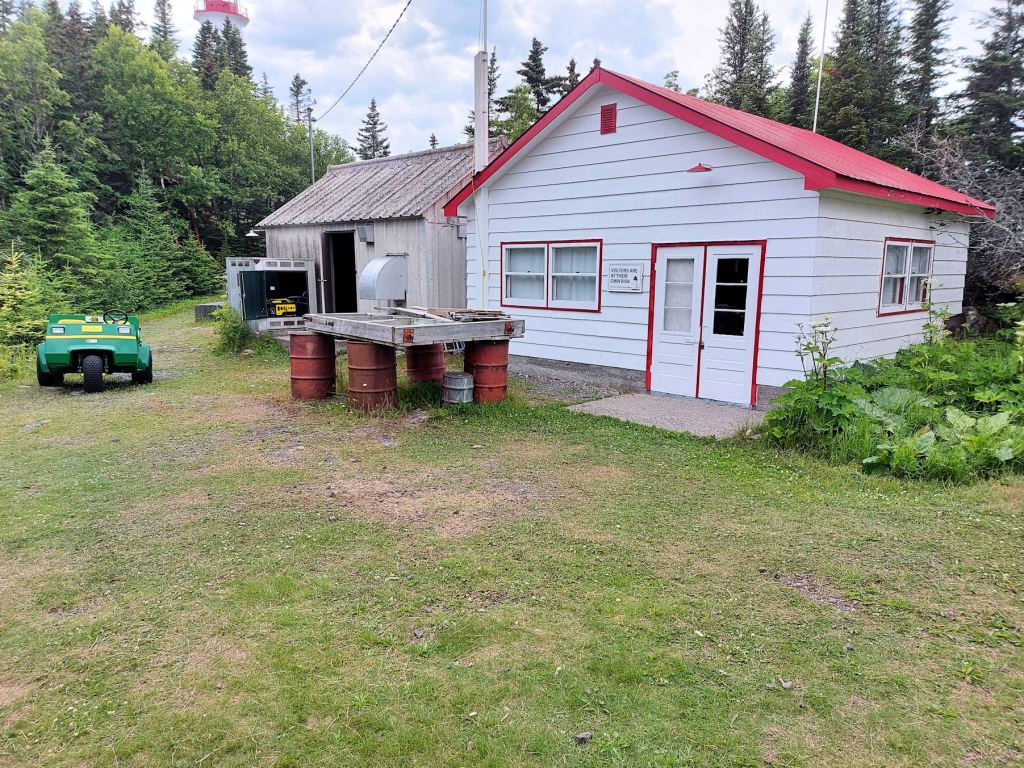
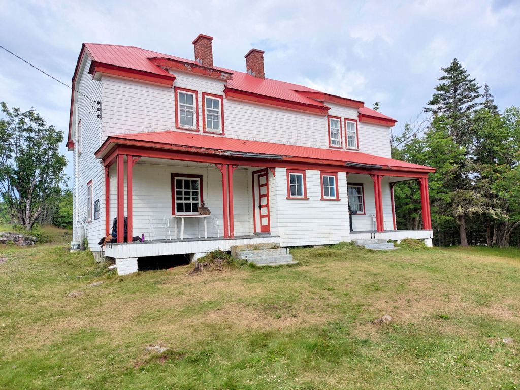
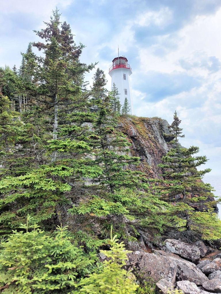
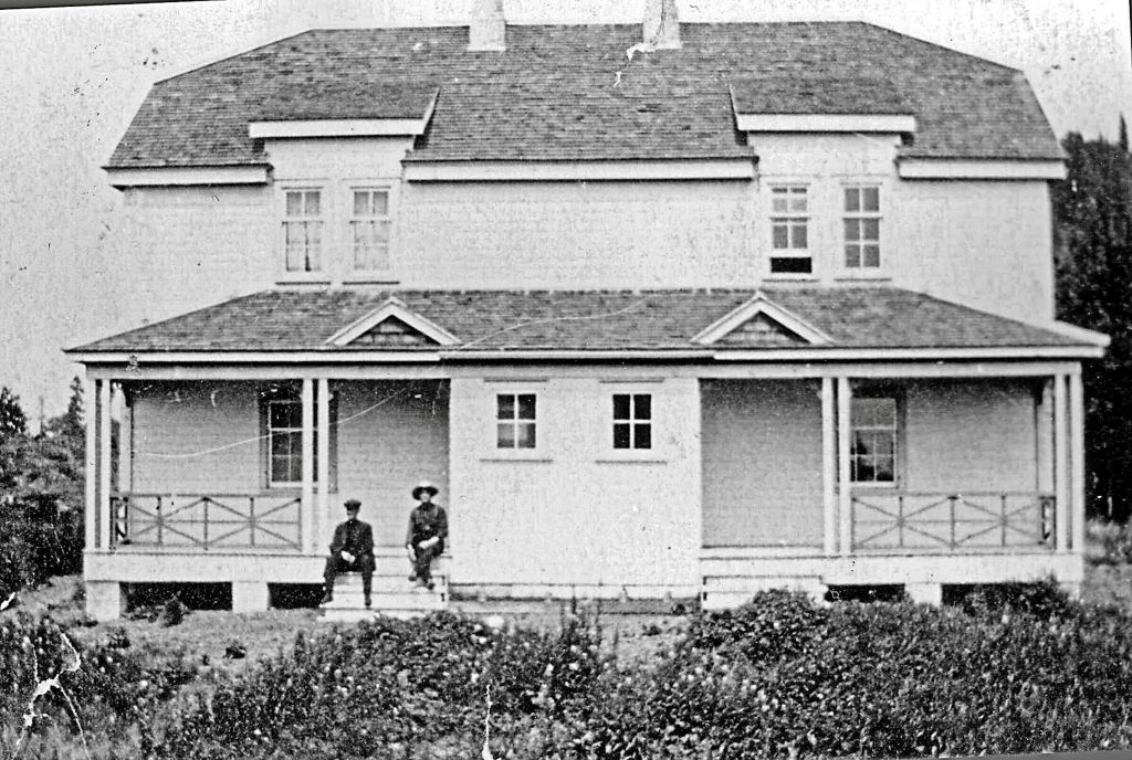
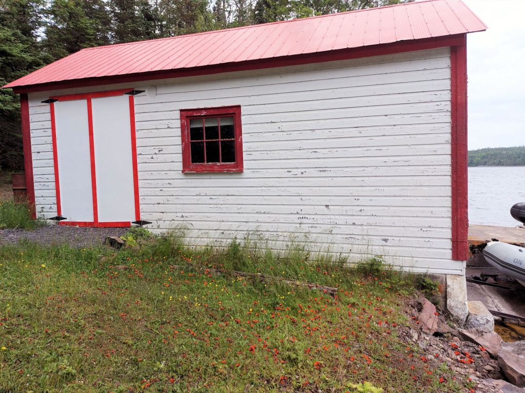
In a clearing, we arrived at a cluster of buildings. One proved to be a two-storey duplex dwelling for the two lighthouse keepers. It was locked up tight, not having been used regularly since 1991. Two outbuildings were, we learned, a workshop and generator shelter. Some folks were sitting around a campfire and munching out. Through a screen of conifers we spied the top of the lighthouse.
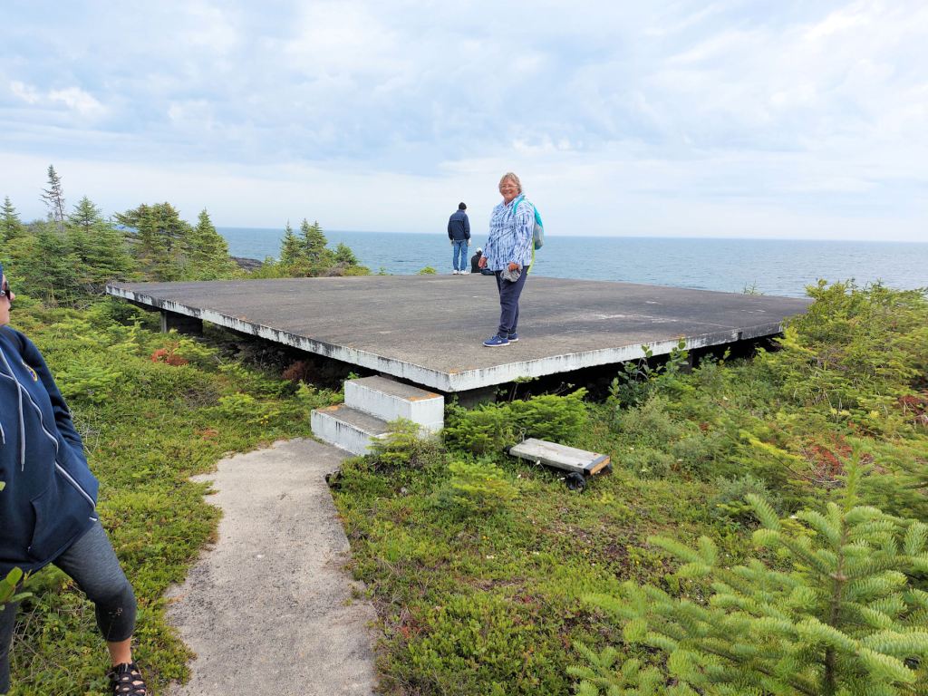
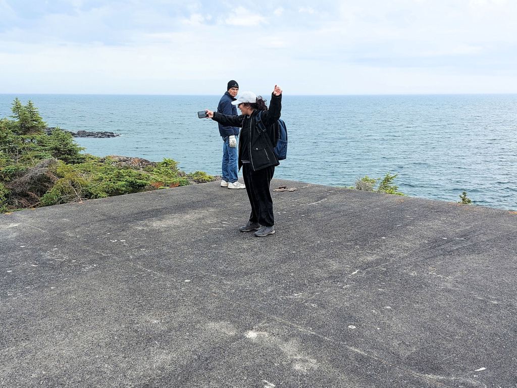
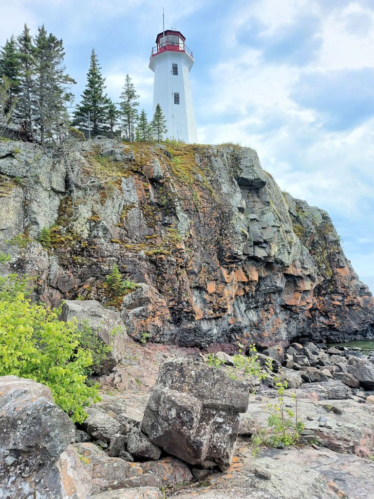
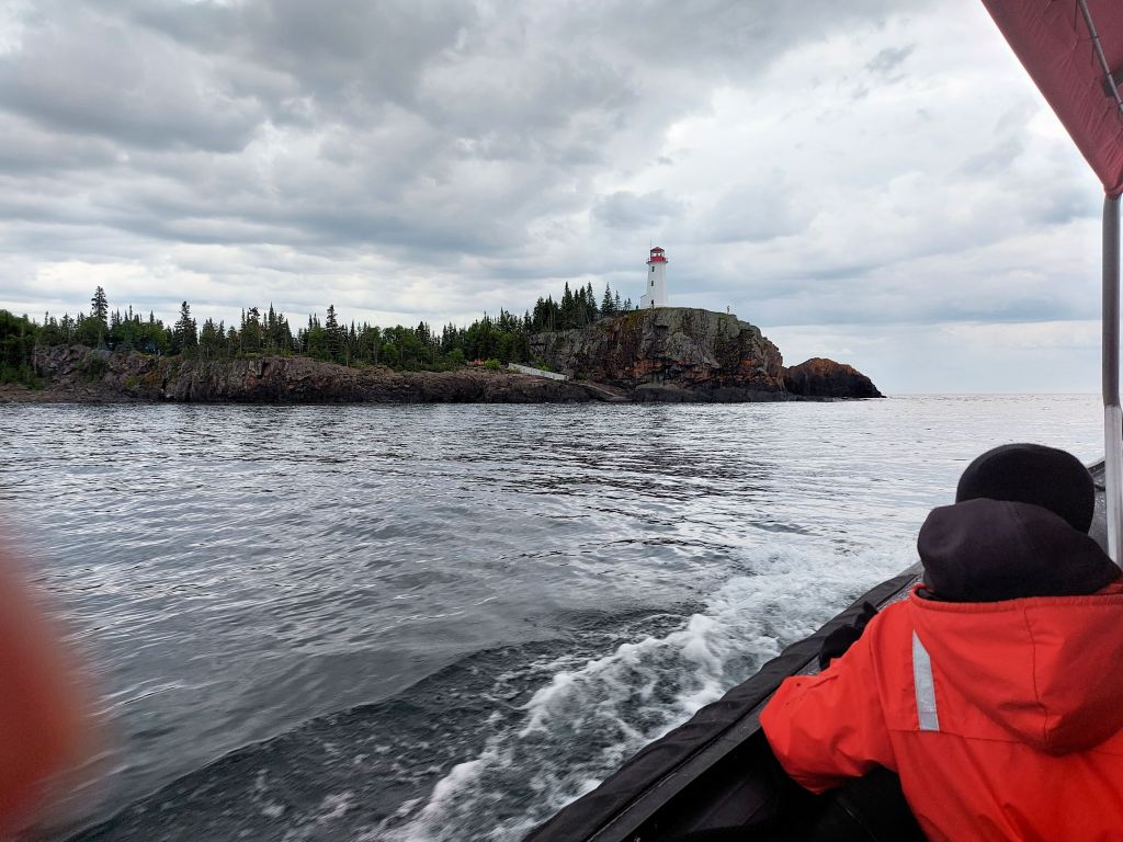
One path led westward below the crag upon which the lighthouse perched. The other led left over a concrete ramp to a large concrete pad. We followed it and found ourselves on a helicopter landing pad. There was a breathtaking view of the open lake. Several metres below, the waves met the rocks, occasionally foaming.
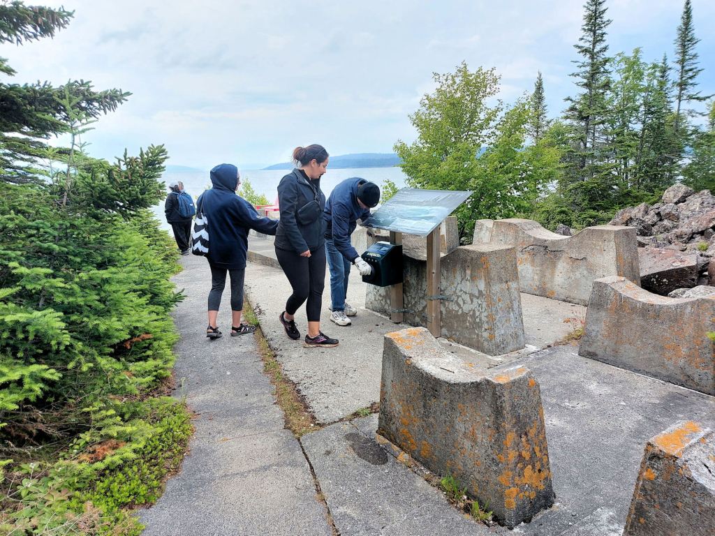
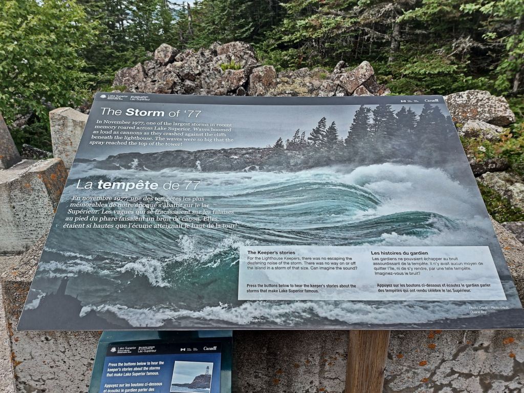
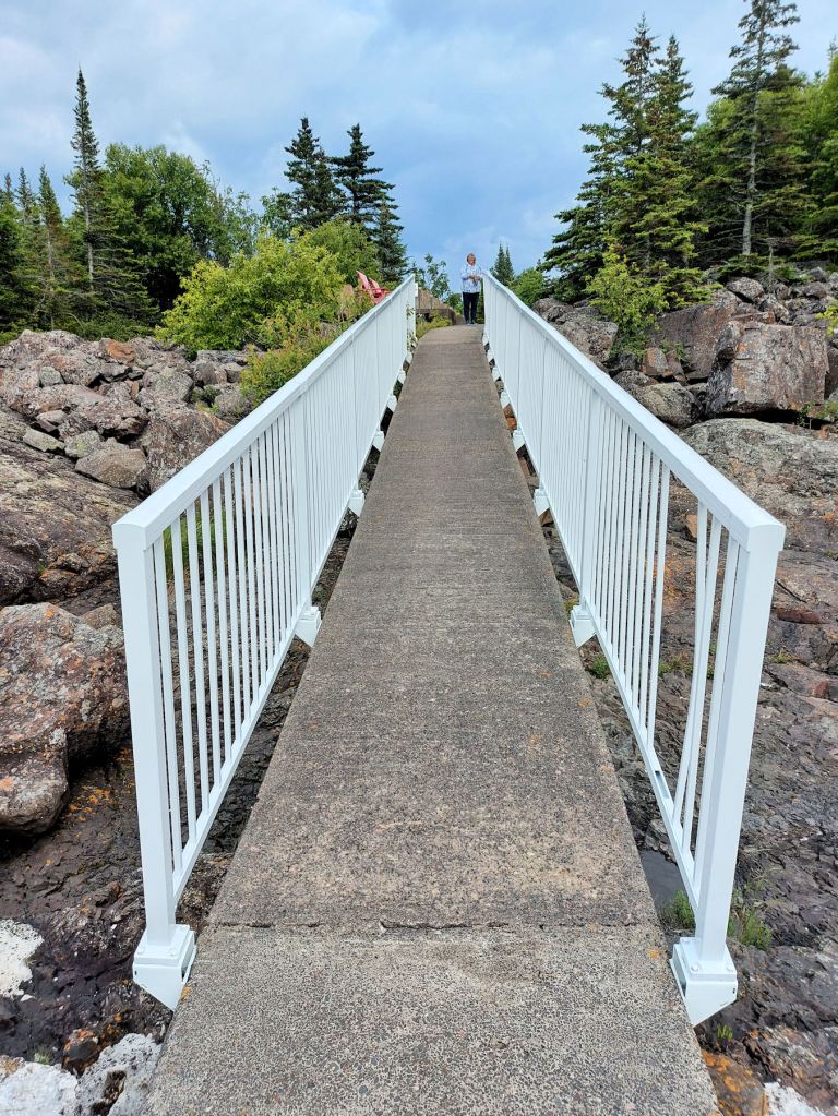
Laura and I retraced our steps down the concrete ramp and joined the concrete sidewalk that ran west. Several tourists preceded us. A grove of conifers hid the lighthouse from view. Some congregated at an interpretive signboard about the November gale of ‘77. We noted the sculptured concrete structures that we were later advised were cradles or cribs that once held barrels of diesel fuel to run the whole operation. We paused briefly at the two red Muskoka chairs provided by Parks Canada, but we kept glancing at the crag and the lighthouse that frowned down upon us.

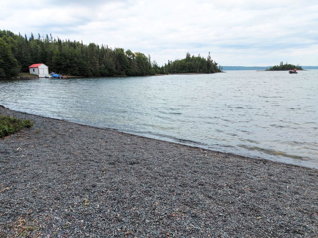
Everyone eventually walked down the concrete ramp that spanned the shoreline rocks. Metal railings prevented anyone from taking a plunge. Once on shore, people separated to conduct their own explorations. The shore consisted of bulges of bedrock and scattered loose boulders, but some intrepid tourists gained the long, wide beach of finer material to the north.
A couple or three times I ran into an elderly gentleman who was relating facts about Battle Island. He was very knowledgeable, but had no badge or distinguishing apparel to indicate his official status. When I finally asked him to introduce himself, he turned out to be André Nicol, one of The Friends of Battle Island Lighthouse. He would have been one of the volunteers responsible for giving the lighthouse a fresh coat of paint earlier in the month.
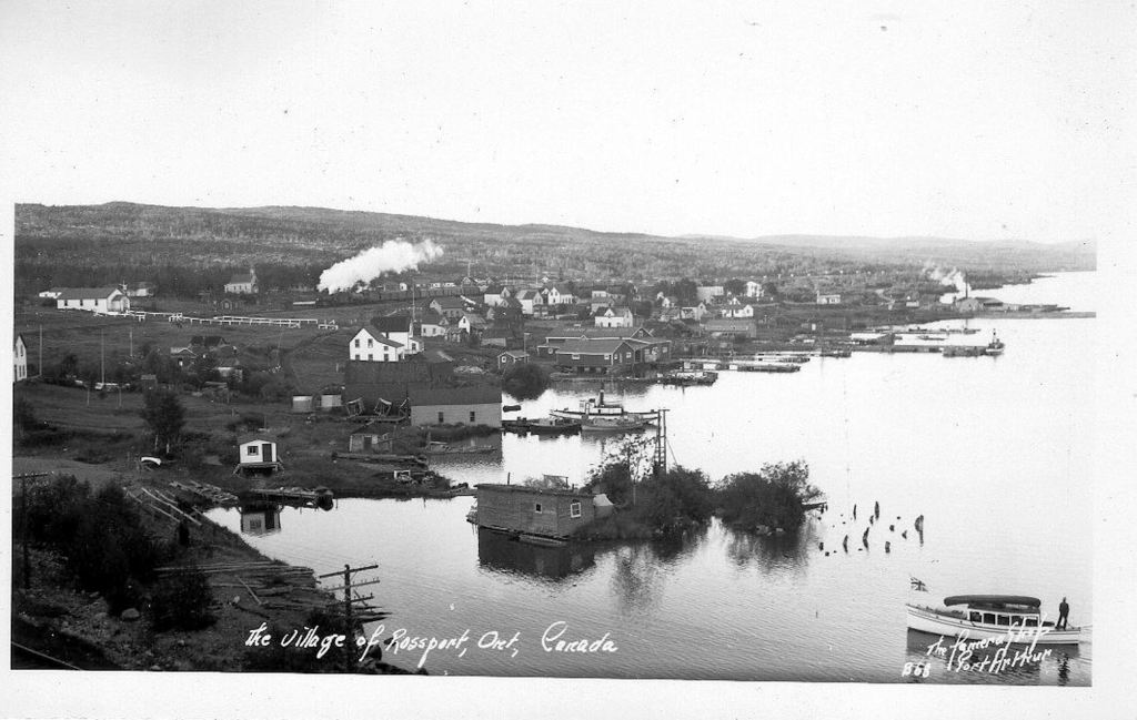
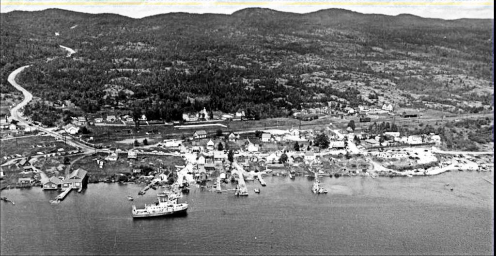
In a later telephone interview, Nicol said his connection to Rossport began in 1891 when his grandfather opened the railway station there, and among other things, ran a trading post and established the subdivision that became the community of Rossport. He founded the Nipigon Bay Fish Company, and handed it over to his son to run until the invasion of the lamprey scuttled the commercial fishery.
André himself spent most of his working life selling newsprint manufactured in local pulp mills. At one point he established a marina on Nicol Island (a residential suburb of Rossport, named for his grandfather), and acted as harbour manager for Rossport Marina.
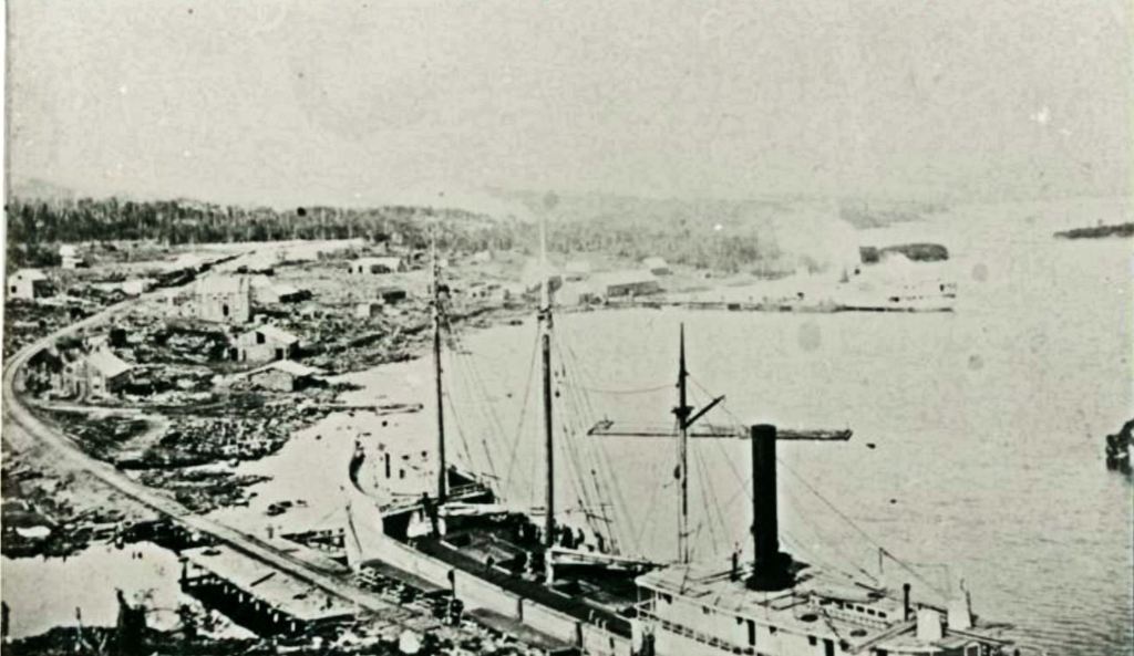
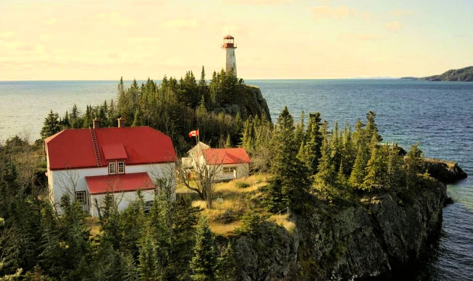
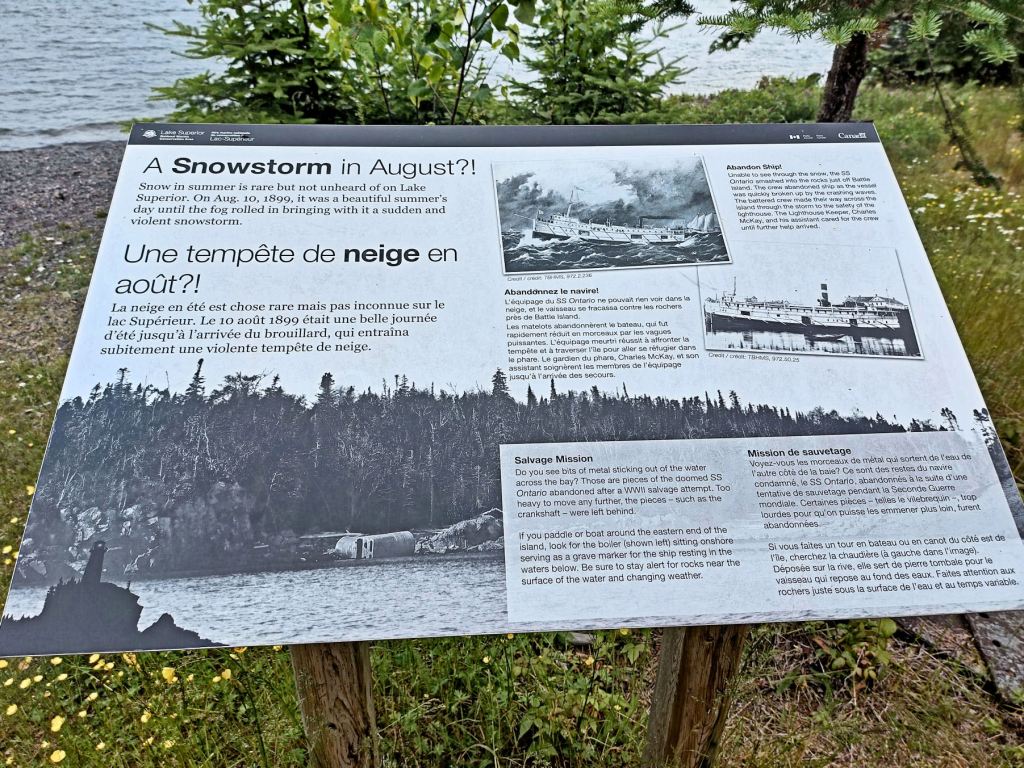
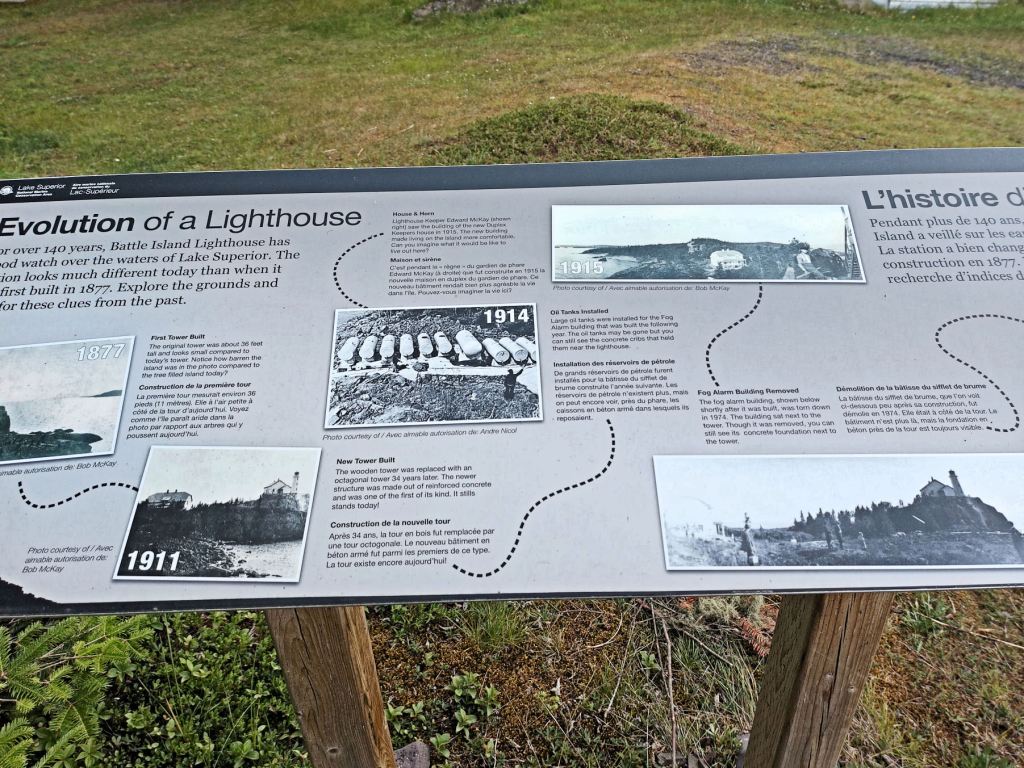
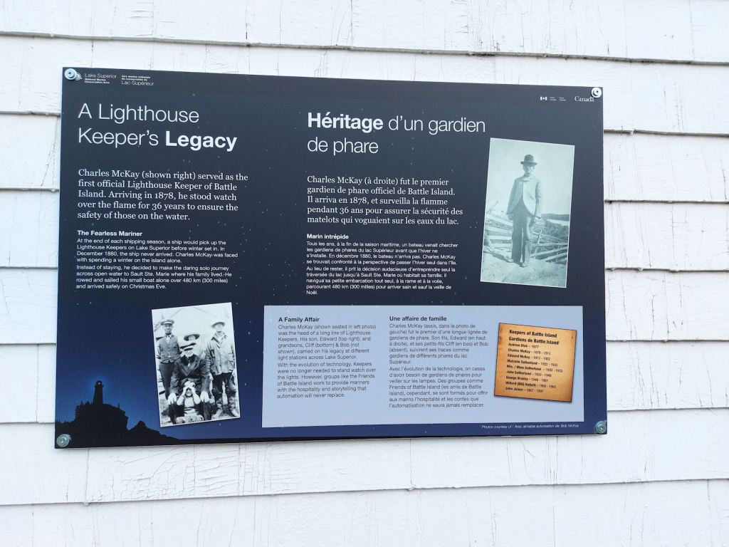
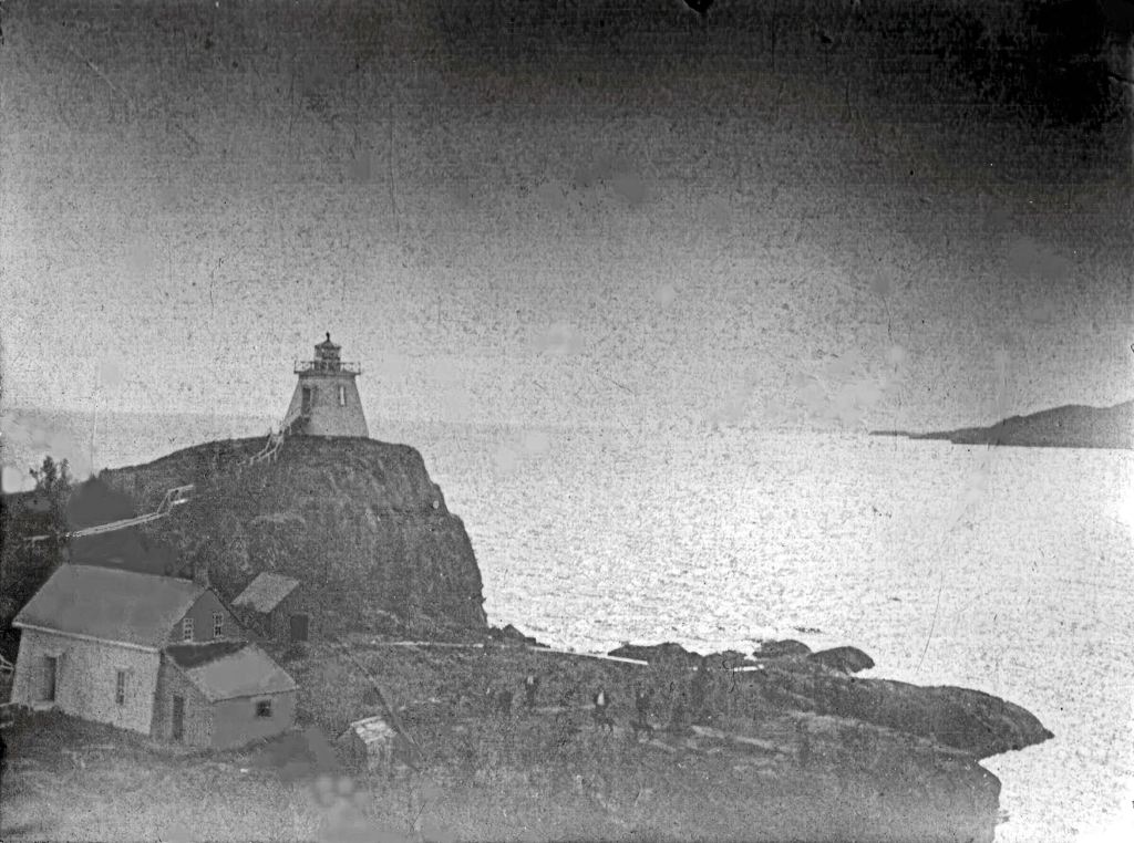
The first lighthouse on Battle Island began operating in 1877. It was a square wooden structure, and an historic photo shows a shacky building which served as the keeper’s dwelling. The light’s primary purpose was to guide westbound ships into Nipigon Bay via the Wilson and Simpson Channels. The captain of the Gunilda missed the Wilson Island entrance on a foggy August morning in 1911, but that is another story.

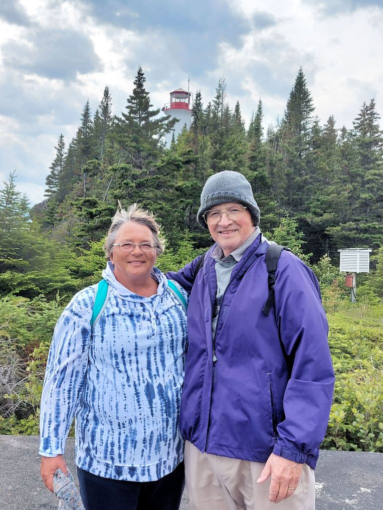
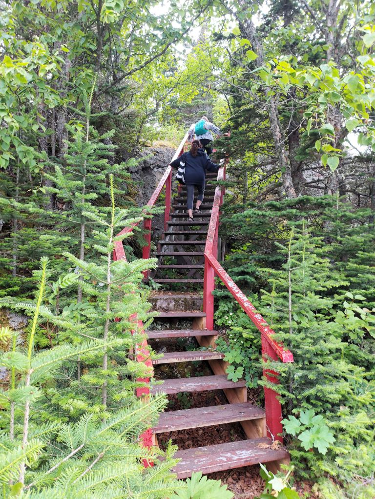
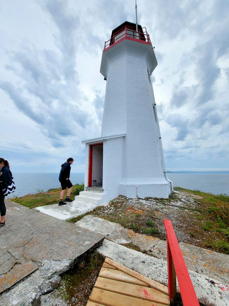
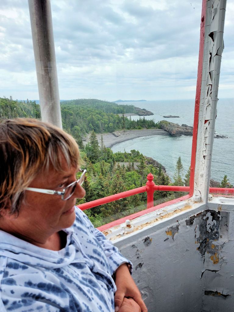
We returned past the Muskoka chairs and arrived at the foot of the stairs leading up to the lighthouse. The steps looked rotten and the wooden handrails were decorated with moss. My confidence grew as I mounted. The 40-foot structure swam into view. To the left was a huge expanse of rough concrete that we assumed was another helicopter pad.

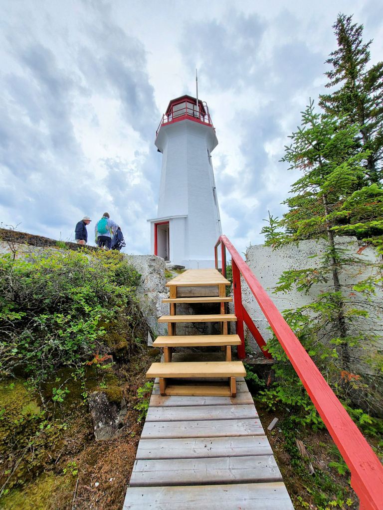
We lingered at this level for ages. One of the youngsters sat on the edge of the pad and dangled her feet. It was a sixty-plus-foot drop to the shoreline rocks. I inched over and peered down. It was only a twelve-foot drop to the ledge. Okay, alright then.
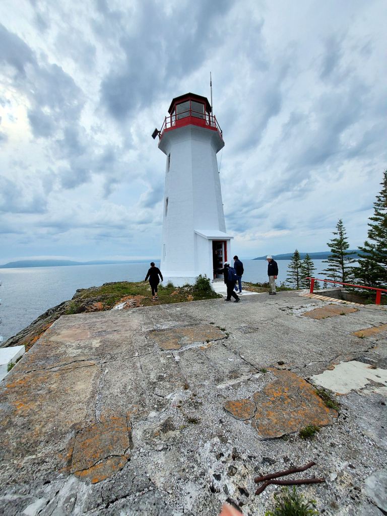
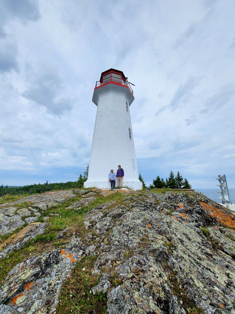
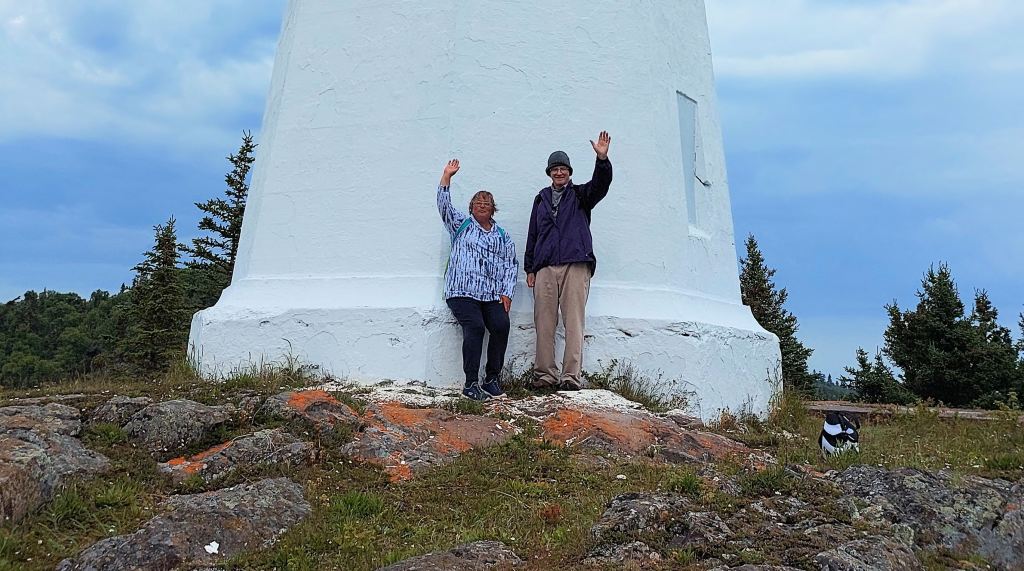


Stacy took our photos against the white wall of the tower. We sprawled on the pad and nibbled at our lunches. Other tourists entered and exited the tower’s single portal. When we were ready for the venture, a gentleman came out, shooed us away, and said he would return in ten minutes. He locked the door.
We learned that the tower is normally out of bounds to visitors. This civic holiday weekend and the two days of scheduled Zodiac excursions encouraged a heavy tourist presence.
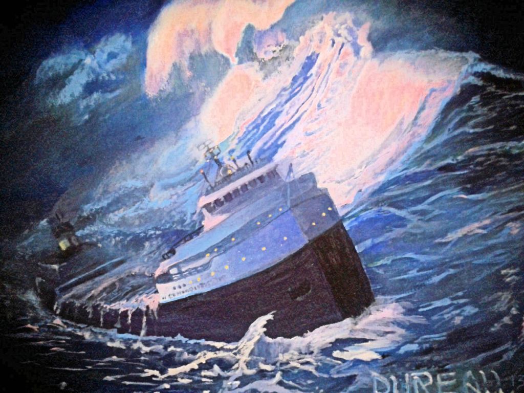
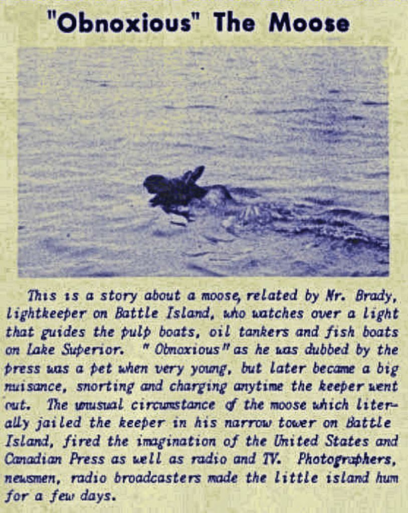
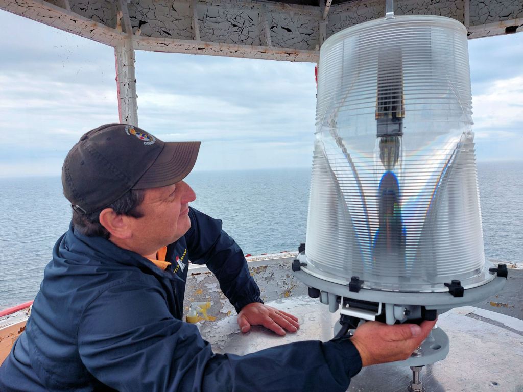
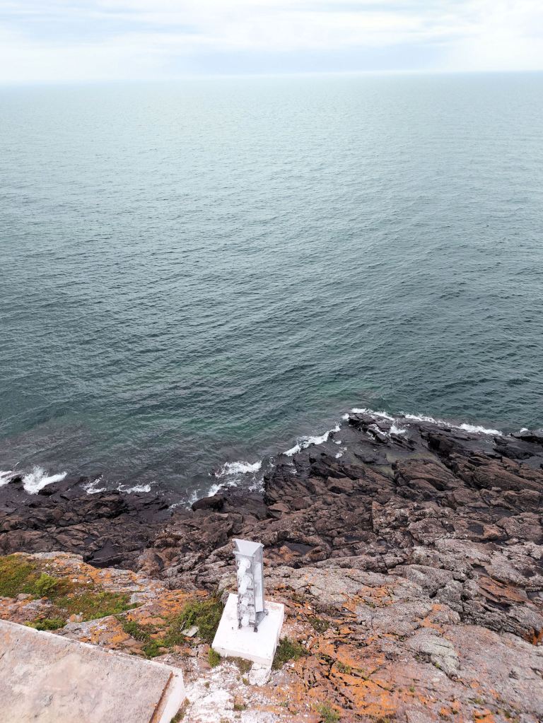
The tower keeper returned after half an hour. He had shuttled a handicapped visitor back to the Zodiac landing. He plopped down on the stoop, panting after the climb. He introduced himself as Michael King, a former coast guard employee. He regaled us with facts and tales about the island and its tower. We learned that the pad we were sitting on was the foundation of a building dating back to 1914. It had housed the diesel generator and the machinery for the diaphonic horn that sounded every few seconds when the fog rolled in. The white structure which looked like a stranded buoy was an electronic version. Since 1991, the fog horn and the pulsating light on the tower had been fully automated. He told us about the storm of November 1977, similar to the one that sank the Edmund Fitzgerald. Waves leapt so high they broke the windows in the tower 117 feet about the lake, and lifted the oil drums out of their cradles. The keepers’ dwelling was divided so that two families could live there from April to November. We learned about the obnoxious moose.
The first lighthouse keeper lived alone starting in 1877, spending 36 seasons there until 1913. One year, in December 1880, McKay paddled to Sault Ste. Marie along the coast. The ship to take him home had never arrived. Presumably, the channel to Rossport had frozen over so that he could not reach the railway. Rowing and sailing, he finally landed near the Soo on Christmas Eve, but he had to drag his vessel across the ice to reach his family home.
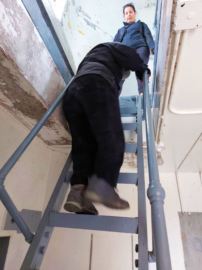
King unlocked the tower door, and several of us climbed three ladder stages to the cabin. We crowded around the light apparatus, and King told us all about the lamp, most of which I did not retain, but I remember that the light reached out eighteen miles across the lake. He said, if we dared, we could walk around the outside of the cabin if we took precautions, which he enumerated very carefully.
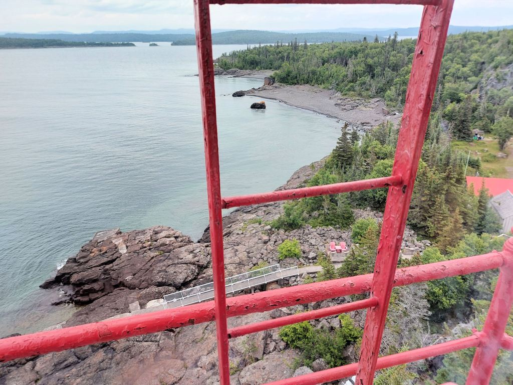
The exit to the cabin meant stooping to enter a very short doorway, falling to our knees, and crawling out on the catwalk. We walked as gingerly as cats. I got a good view of the Muskoka chairs, the long, railed ramp down to the shore, and a couple of smudgy people strolling on the beach.

Back on the ground, I descended the steep rotting stairway confidently and rejoined our original group. It was now 7 o’clock. Mindful of Captain Heroux’s injunction, we drifted up the trail and to the dock and watched the Zodiac come in for a landing.
Twelve of us filed one by one into the Zodiac like true veteran sailors. Laura and I were granted the two seats behind the captain because, I suspect, someone took pity on the old geezer. It was a super smooth ride back to Rossport.
After pulling away from the dock and dog-paddling into the bay, the captain took us westward on the north side of Battle Island. He offered a great view of the crag and the lighthouse. Two new visitors, far above us, were poised on the edge of the cliff and operating a drone.

A gentle rain started. To my question, one of the crew responded that the Zodiac was powered by twin outboard Evinrude motors, each 250 horsepower.
Total 500 HP.
Man, could those horses swim!